|
Confusing
Reports Made Simple
We convert confusing,
unmangeable government reports about the area that are full
of information into map layers that are versatile and easy
to use.
Let's take a look
at the Gold Basin FootPrint, for example.
In this FootPrint we were
able to take USGS Professional Paper 1361 and integrate it
directly
into the map. This paper entitled "Geology and Gold
Mineralization of the Gold Basin-Lost Basin Mining Districts"
is a must read for prospectors.
In addition to a very
detailed text about the nature of the gold found in these
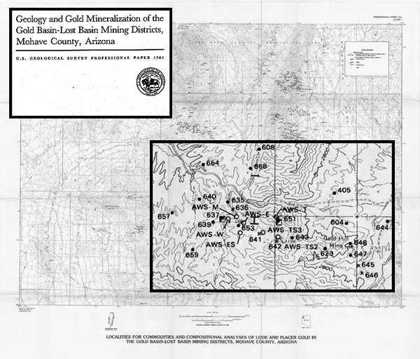
mining districts, this report details several hundred mines,
adits, pits and old drywasher sites. The text is 176 pages
long. The map is a topo map with several hundred points with
numeric labels that refer to a 92 page table where the important
information is presented.
Our mapping process cuts
right through the report to the information that you need.
Click on the map to see
how the Gold Basin FootPrint simplifies the
data. |