Miner Diggins Maps Right Click Image to Download File

All of the maps on these pages were created by Miner Diggins. Feel free to download them, use them and share them. Our only requirement is that you maintain and abide by the permissions statement intact on each map.


PDF 2.8 MB

Where's Seymore, Arizona?

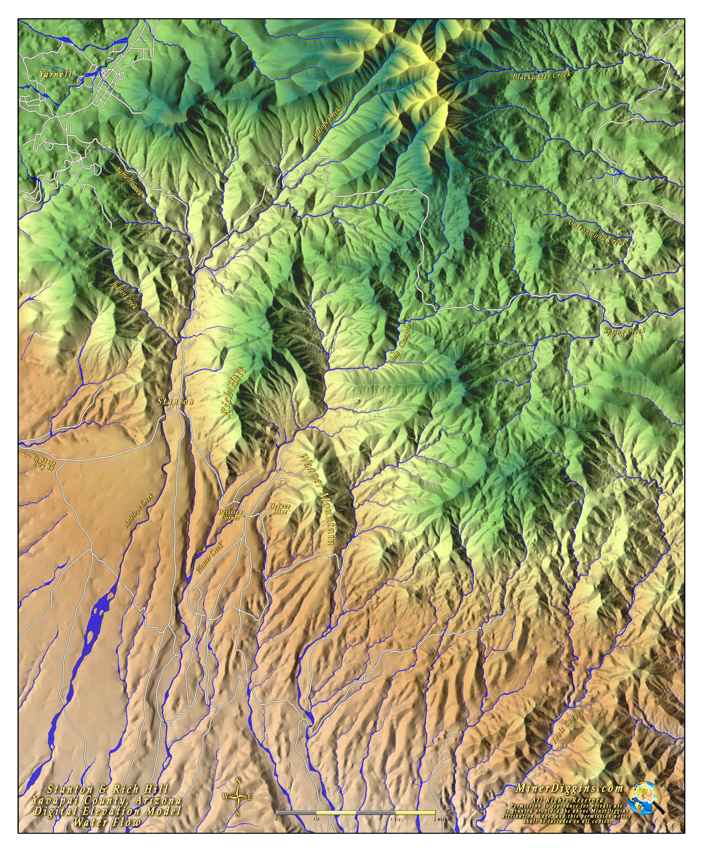
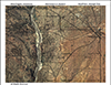
FootPrints Through Time - This is a map I did to help a friendly desert rat locate the old town of Seymore Arizona that at one time had a mill for the Vulture Mine.This map shows the 1918 BLM Plat overlaid on current aerial imagery.

The map is in a Layered PDF format. Use Adobe reader to view it and you can turn on/off the 1918 plat layer to better see the landscape underneath.


Beep the Burn Maps

These maps detail the burn area of major forest fires in Gold producing areas to help the detectorist take advantage of the burn! Big nuggets can be revealed after the fire clears all of the brush for you.


JPG 8.9MB

Gladiator Fire, Crown King, Arizona - May 29, 2012

Small (252KB)

Large - Download a high resolution map (8.9 MB)


JPG 3.1MB

Greaterville Fire, Pima County, AZ - May 4, 2011

Small (132KB)

Large - Download a high resolution map (3.1 MB).


JPG 7 MB

Map of Gold Basin & Lost Basin, Mohave County, Arizona

This is a 3D terrain map with a water flow overlay.

See Ruby's Ripple Blog for more details.

JPG 7.7 MB

Map of Lynx Creek Region, Yavapai County, Arizona

This is a 3D terrain map with an overlay of a USGS Topo Map for the region around Lynx Creek.

See Ruby's Ripple Blog for more details.


JPG 6.3 MB

Map of Stanton & Rich Hill, Yavapai County, Arizona

This is a 3D terrain map with an overlay of water flow, roads and place names for the region surrounding Stanton and Rich Hill.

See Ruby's Ripple Blog for more details.